AI CERTS
3 months ago
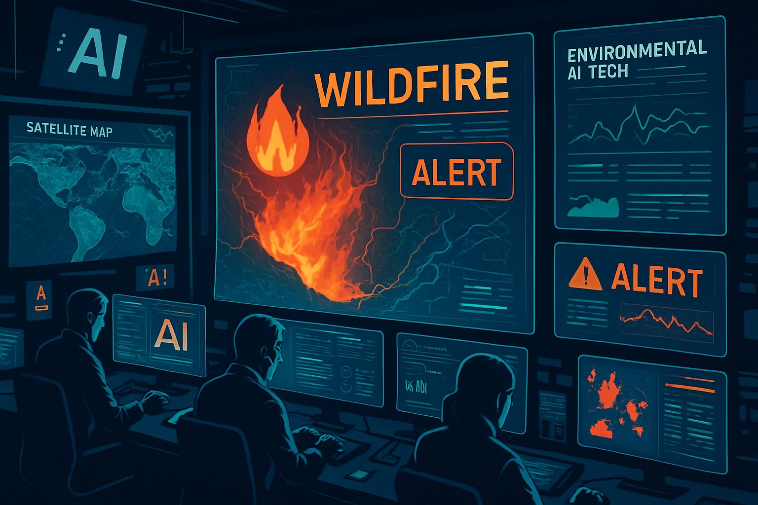
Environmental AI Tech: Google FireSat Boosts Wildfire Detection
This article unpacks the system for technical managers evaluating Environmental AI Tech solutions. Additionally, we explore roadmap, adoption hurdles, and training opportunities. Moreover, we connect FireSat’s capabilities to broader climate resilience goals and data-driven wildfire tracking programs. Finally, actionable certification pathways help readers deepen security expertise around spaceborne AI payloads. Therefore, leaders can align procurement with emerging standards and guard public safety missions.
Global Wildfire Crisis Context
Wildfire losses surged 650 percent over four decades, according to United Nations studies. In contrast, fire budgets have not grown proportionally, pressuring agencies to adopt automation. Furthermore, traditional airborne patrols cannot cover remote terrain during night or severe smoke. Satellite imagery offers persistent monitoring, yet many heritage sensors refresh once every six hours. Consequently, small ignitions frequently escape detection until they threaten towns and critical infrastructure. These gaps create fertile ground for faster, smarter constellations such as FireSat. Environmental AI Tech solutions must therefore operate with both speed and specificity. Early failures highlight monitoring limitations. However, new constellations promise a stronger defensive shield. Therefore, understanding FireSat’s architecture becomes vital.
FireSat Program Key Overview
FireSat is a nonprofit-driven constellation supported by Google Research and Earth Fire Alliance. Moreover, Muon Space designs and operates each satellite under an agile manufacturing model. The protoflight launched 14 March 2025 aboard a SpaceX rideshare mission named Transporter-13. Initial funding included a $13 million Google.org grant announced September 2024.
Additionally, philanthropic partners such as the Gordon and Betty Moore Foundation joined financing rounds. The project targets more than 50 spacecraft by 2030, delivering 20-minute global revisit rates. FireSat already captured first images of an Oregon roadside fire that legacy sensors missed. Meanwhile, early adopter agencies including CAL FIRE are testing raw detections for operational fit. Effective wildfire tracking demands both cadence and precision. Such Environmental AI Tech initiatives exemplify mission-first engineering in the climate domain. FireSat couples philanthropic support with commercial rigor. Consequently, stakeholders anticipate rapid constellation growth. Next, we examine the technology enabling that growth.
Inside Infrared Payload Design
Each satellite carries a six-channel multispectral infrared instrument spanning MWIR, LWIR, and SWIR bands. Moreover, the sensor detects fires as small as five-by-five meters through heavy smoke. Mid-wave and long-wave channels capture flame cores, while short-wave bands map surrounding vegetation and scars. Therefore, analysts receive contextual data, not isolated hot pixels. The payload downlinks calibrated satellite imagery to ground stations for validation and archival. Muon integrated radiation-hardened electronics ensuring orbit resilience and minimal maintenance.
- Detection footprint: approximately 25 square meters per pixel.
- Revisit objective: global coverage every 20 minutes when 50 satellites fly.
- Latency goal: alert delivery within five minutes using optical inter-satellite links.
- Protoflight weight: roughly 120 kilograms including fuel.
These specifications illustrate why Environmental AI Tech matters to wildfire tracking professionals. However, raw pixels alone cannot guarantee actionable intelligence. Consequently, machine learning algorithms run both in orbit and on the ground. Payload design balances resolution and cadence. Subsequently, AI bridges the final gap to real-time value. Let us explore those algorithms more closely.
AI Models Reduce Falsehoods
Google Research supplies convolutional networks trained on decades of burn data across continents. In contrast, legacy thermal sensors relied on simple thresholding that produced frequent false alarms. Moreover, FireSat models combine thermal signatures with weather, land-cover, and infrastructure layers. The architecture assigns confidence scores, prioritizing dispatch only when probability exceeds 85 percent. Additionally, edge inference chips enable classification during each orbital pass, shrinking latency dramatically. Environmental AI Tech workflows then push alerts directly into firefighter dashboards via standard APIs. Nevertheless, developers still monitor output manually to refine thresholds and handle volcanic or industrial heat. A numbered list clarifies model benefits.
- Higher precision reduces costly helicopter deployments.
- Context fusion distinguishes campfires from dangerous wildfires.
- Automated updates safeguard responder safety during overnight shifts.
Advanced models tighten detection quality. Therefore, trust grows among field commanders. Still, adoption hurdles remain beyond algorithms.
Adoption Barriers And Solutions
Fire chiefs often face software procurement delays and limited training budgets. Furthermore, some agencies lack bandwidth to integrate new satellite imagery feeds quickly. In contrast, Earth Fire Alliance launched an Early Adopter program offering technical assistance. Participants receive sandbox APIs, simulation data, and direct engineering support. Additionally, online workshops teach alert validation procedures and mobile mapping workflows. Responders can deepen expertise through the AI Security Specialist™ certification. Moreover, Environmental AI Tech communities share open-source tools that speed deployment into command centers. Nevertheless, policy clarity is required for data governance and privacy compliance. A Washington Post investigation warned of an “adoption crisis” despite promising hardware. Technical training and governance shape real impacts. Consequently, collaboration among nonprofits, vendors, and agencies is essential. The timeline ahead provides further context.
Roadmap And Policy Outlook
Three operational FireSats will launch in 2026, expanding coverage beyond the single protoflight. Subsequently, Muon plans to attach Starlink mini laser terminals for 25 Gbps inter-satellite connectivity. That upgrade could push alert latency below five minutes worldwide. Moreover, Earth Fire Alliance targets 50 satellites by 2030, enabling near continuous wildfire tracking. Policymakers discuss data sovereignty and public access frameworks to maximize climate resilience benefits. In contrast, some nations demand regional processing nodes to protect safety information. Environmental AI Tech alliances could harmonize standards across jurisdictions. Key milestones appear below.
- 2025: Protoflight imagery validated.
- 2026: First three operational spacecraft launched.
- 2028: Faster satellite imagery delivery via lasers.
- 2030: Full fleet targets 20-minute global cadence.
These milestones illustrate accelerating momentum. Therefore, technology leaders should prepare procurement roadmaps now. The roadmap shows rapid capability expansion. Subsequently, governance decisions will guide equitable access. We now synthesize the major points.
FireSat combines purpose-built hardware, cloud analytics, and philanthropic funding to advance wildfire tracking. Moreover, six-band infrared sensors detect classroom-sized flames through smoke and darkness. AI algorithms filter anomalies, giving responders actionable alerts within minutes, not hours. Agencies must still navigate software integration, governance, and training to realize safety gains. Consequently, Environmental AI Tech partnerships, certification programs, and shared standards are becoming strategic priorities. Professionals can start by reviewing procurement guidance and pursuing the linked AI Security Specialist credential. Additionally, monitoring FireSat’s 2026 launch cadence helps teams align budgets and capabilities. Act now, adopt responsibly, and help reshape climate resilience before the next wildfire season.


